
WGIC Data Committee Webinar

Can you defend the data behind the decision?

Data to Decisions — Rebuilding Trust in Decision-Grade Geospatial Data in the Age of AI

TBD. 2026 · 10:00 – 11:15 MT · 75-minute executive webinar · Registration open

Geospatial data is entering a fundamentally different era. Data can now be inferred, synthesized and transformed at enormous scale — often through processes the ultimate decision-maker cannot inspect. The question is no longer simply “is the data accurate?” It is whether you can establish where it came from, what happened to it, whether you may use it — and whether it is fit for this particular decision.

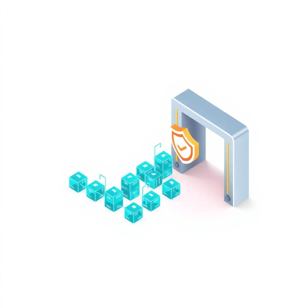
Illustration of data cubes passing through a trust checkpoint

The central question

A dataset may be accurate — and still be indefensible.

Accurate — but improperly licensed.
Authentic — but too old.
Perfect provenance — but wrong for the decision being made.
A convincing AI output — while masking uncertainty.

Decision-grade data must be Fit. Traceable. Lawful. Explainable. Accountable. Defensible.

Why this webinar — why now

From measurement-based trust to model-based trust.

For decades, organizations trusted maps because they understood how they were made: measurements were taken, methods documented, accuracy declared, responsibility clear. AI, cloud processing, automated feature extraction and foundation models are changing that relationship — creating extraordinary opportunity and new risk in equal measure.

Measurement-based trust

Surveyed → Documented → Known responsibility

Model-based trust

Inferred → Automated → Multi-source → Continuously changing → Distributed responsibility

  • How do we preserve provenance through increasingly automated pipelines?
  • How should uncertainty be communicated when AI-derived outputs inform consequential decisions?
  • Who is responsible when flawed data propagates through provider, model, platform and application?
  • What does data sovereignty mean when data, models and derived outputs cross jurisdictions?
  • How should organizations govern Geospatial Foundation Models?
  • What documentation will procurement, customers, governments, insurers and regulators increasingly expect?
  • What should organizations implement now — rather than retrofit after a dispute or failure?

The six-part framework

What makes data decision-grade? Six tests.

From the white paper’s six-part framework: no single test establishes trust. Authenticity does not prove accuracy. Integrity does not prove the source was right. Provenance does not prove fitness for purpose. Accuracy does not establish lawful use.

Test 01

Source & Capture

Where did the original measurement come from?

Consider

  • Sensor & calibration
  • Capture conditions
  • Positional accuracy
  • Currency
Rate your organization on this test in the Playbook →

Follow the data

The flood-map journey.

The white paper’s recurring scenario, animated: at every stage we ask what can fail — and what control keeps trust intact.

Measured

Surveyed and checked at the source.

Generated

AI classification and multi-source cloud processing.

Secured

Hashing, timestamping and machine-readable lineage.

Governed

Jurisdiction, licensing and authorized processing controls.

Used

The information reaches a model or decision-maker.

Who owns the risk?

Data liability across the chain.

If poor geospatial data contributes to a costly or safety-critical failure — who is responsible? The answer increasingly cannot be left implicit. It must be addressed through governance, contracts, procurement requirements, documentation and competent human review.

01

Data Provider

Controls

Source accuracy, calibration, known limitations

02

AI / Model Developer

Controls

Training data, validation, model behavior, uncertainty

03

Platform Operator

Controls

Versions, updates, logging and access

04

End User / Deployer

Controls

Fitness-for-purpose assessment before acting

Recommended format

A 75-minute executive conversation.

Designed as a conversation rather than a sequence of presentations — senior, cross-functional, and grounded in the white paper’s framework.

  1. 0–5 min

    Welcome: The Trust Question

    Opening poll — could your organization reconstruct exactly which data, model and transformations informed an important decision six months ago?

  2. 5–15 min

    Part 1 — From Measurement to Models

    Why traditional geospatial trust worked, what cloud and AI have changed, and why visually convincing outputs are not synonymous with trustworthy outputs.

  3. 15–28 min

    Part 2 — What Makes Data Decision-Grade?

    The six linked properties of decision-grade data — and why no single test establishes trust on its own.

  4. 28–38 min

    Part 3 — Follow the Data

    The flood-map journey: five stages from measured to used, asking at each — what can fail, and what control keeps trust intact?

  5. 38–48 min

    Part 4 — Who Owns the Risk?

    Data liability across provider, model developer, platform and deployer — and why responsibility can no longer be left implicit.

  6. 48–58 min

    Part 5 — Sovereignty, AI and the Next Governance Layer

    Sovereignty ≠ residency. Federated architectures: data stays home, insight can travel, governance travels with it.

  7. 58–65 min

    Part 6 — When Data Enters a Geospatial Foundation Model

    Governance by design across the data, governance and model layers — with audit spanning all three.

  8. 65–70 min

    Part 7 — What Should Organizations Do Next?

    The WGIC three-horizon roadmap, and the one thing a CDO or CTO should start on Monday morning.

  9. 70–75 min

    Audience Q&A

    Provenance, liability, procurement, metadata, sovereignty, AI and foundation models.

The WGIC three-horizon roadmap

What should organizations do next?

Now
  • Embed provenance
  • Communicate uncertainty
  • Adopt machine-readable metadata
  • Review applicable AI transparency requirements
Next 1–2 years
  • Expand cryptographic integrity and trusted timestamping
  • Strengthen contractual responsibility across the data chain
Next 2–3 years
  • Advance federated data architectures
  • Integrate authenticity and sovereignty gates into GFM pipelines
  • Move toward an interoperable governance umbrella spanning data, models and decisions

Five attendee takeaways

What you’ll leave with.

01

Define what makes geospatial data “decision-grade.”

Understand why accuracy alone is insufficient and apply the six linked dimensions of trust.

02

Identify where trust can break in a modern pipeline.

Trace risk from sensor and source through processing, AI, platforms and ultimately the decision.

03

Ask better governance questions of AI and GeoAI systems.

Understand what provenance, uncertainty, sovereignty and model documentation should reveal.

04

Recognize where accountability belongs.

Identify the respective controls held by data producers, model developers, platforms and end users.

05

Build an actionable roadmap.

Leave with concrete priorities for now, the next 1–2 years and the next 2–3 years.

Plus both resources: the full WGIC white paper and the companion Decision-Grade Data Playbook.

Start the Playbook now →

Featuring

Your speakers.

JR

John Renard

Chair, WGIC Data Committee

Airedale Advisory Limited

John Renard chairs the WGIC Data Committee and is Founder and Owner of Airedale Advisory Limited, with senior leadership roles across the geospatial industry and long-standing service in WGIC’s executive leadership. Focus: industry governance, decision-grade data, provenance, sovereignty, accountability and the WGIC action agenda.

JVR

James Van Rens

Senior Vice President

RIEGL International

James Van Rens is a senior geospatial industry executive with more than three decades across remote sensing, 3D mapping and LiDAR technology, active in government and industry relations and WGIC initiatives on the future of geospatial data. Focus: source and capture, sensor-to-decision trust, data quality, automation and LiDAR.

WGIC Data Committee

Data to Decisions

Rebuilding Trust in Decision-Grade Geospatial Data

White paper · 2026

WGIC Data Committee white paper

Data to Decisions

Rebuilding Trust in Decision-Grade Geospatial Data

The WGIC Data Committee examines what organizations need to establish confidence in geospatial information as AI, cloud platforms and increasingly complex data ecosystems change the way spatial data is captured, processed, transformed and ultimately used. The paper develops a practical framework around provenance, governance, metadata and accountability — and proposes an industry action agenda for rebuilding trust in the emerging GeoAI environment.

Use the companion playbook

The next competitive advantage isn’t simply more data.

It’s data you can defend.

Register for the webinar, read the white paper, assess your own environment — and start the conversation inside your organization.